Woodland by A49, bordering the Hardwicke Grange estate
Introduction
The photograph on this page of Woodland by A49, bordering the Hardwicke Grange estate by David Smith as part of the Geograph project.
The Geograph project started in 2005 with the aim of publishing, organising and preserving representative images for every square kilometre of Great Britain, Ireland and the Isle of Man.

There are currently over 7.5m images from over 14,400 individuals and you can help contribute to the project by visiting https://www.geograph.org.uk
Woodland by A49, bordering the Hardwicke Grange estate
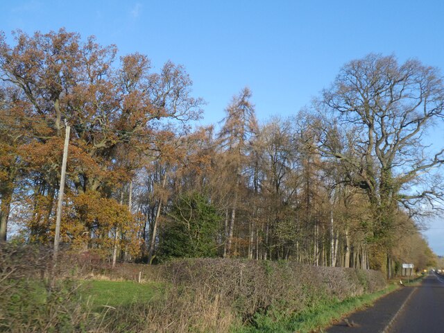
Image: © David Smith Taken: 4 Dec 2021
Hardwicke Grange was demolished in 1931. A farm and stables remain.
Images are licensed for reuse under creativecommons.org/licenses/by-sa/2.0
Image Location
Latitude
52.785552
Longitude
-2.706026