Sweatfords Water flowing under Puddleslosh Lane
Introduction
The photograph on this page of Sweatfords Water flowing under Puddleslosh Lane by David Martin as part of the Geograph project.
The Geograph project started in 2005 with the aim of publishing, organising and preserving representative images for every square kilometre of Great Britain, Ireland and the Isle of Man.

There are currently over 7.5m images from over 14,400 individuals and you can help contribute to the project by visiting https://www.geograph.org.uk
Sweatfords Water flowing under Puddleslosh Lane
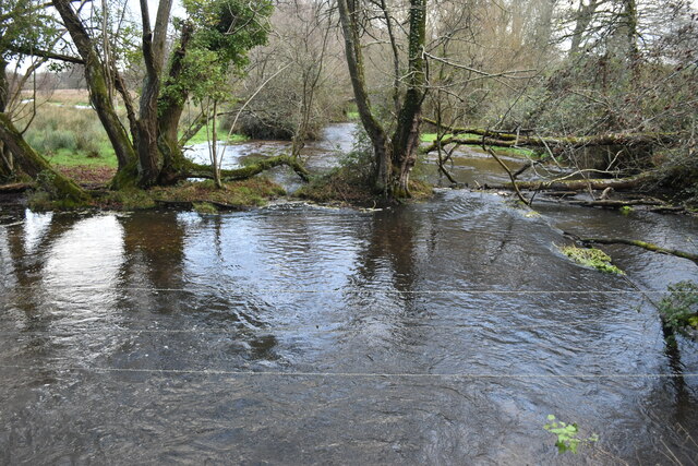
Image: © David Martin Taken: 28 Dec 2021
A fine set of rather wet placenames!
Images are licensed for reuse under creativecommons.org/licenses/by-sa/2.0
Image Location
Latitude
50.938506
Longitude
-1.801982