Land near Ffawydden
Introduction
The photograph on this page of Land near Ffawydden by Graham Horn as part of the Geograph project.
The Geograph project started in 2005 with the aim of publishing, organising and preserving representative images for every square kilometre of Great Britain, Ireland and the Isle of Man.

There are currently over 7.5m images from over 14,400 individuals and you can help contribute to the project by visiting https://www.geograph.org.uk
Land near Ffawydden
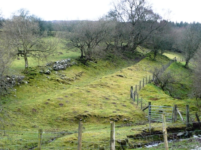
Image: © Graham Horn Taken: 24 Feb 2008
From the valley road looking west, this is a rare section of the western side of the valley that has not been forested. A bridleway ascends up this track.
Images are licensed for reuse under creativecommons.org/licenses/by-sa/2.0
Image Location
Latitude
51.925381
Longitude
-3.081743