Winksley, St Cuthbert and St Oswald
Introduction
The photograph on this page of Winksley, St Cuthbert and St Oswald by Mel Towler as part of the Geograph project.
The Geograph project started in 2005 with the aim of publishing, organising and preserving representative images for every square kilometre of Great Britain, Ireland and the Isle of Man.

There are currently over 7.5m images from over 14,400 individuals and you can help contribute to the project by visiting https://www.geograph.org.uk
Winksley, St Cuthbert and St Oswald
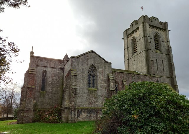
Image: © Mel Towler Taken: 19 Nov 2021
There is a benchmark cut into the 2nd course of stone at the rear of the church, on the buttress to the left of the furthest left window.
Images are licensed for reuse under creativecommons.org/licenses/by-sa/2.0
Image Location
Latitude
54.13603
Longitude
-1.615805