Coventry Canal north of Bridge 35 near Mancetter
Introduction
The photograph on this page of Coventry Canal north of Bridge 35 near Mancetter by Roger Kidd as part of the Geograph project.
The Geograph project started in 2005 with the aim of publishing, organising and preserving representative images for every square kilometre of Great Britain, Ireland and the Isle of Man.

There are currently over 7.5m images from over 14,400 individuals and you can help contribute to the project by visiting https://www.geograph.org.uk
Coventry Canal north of Bridge 35 near Mancetter
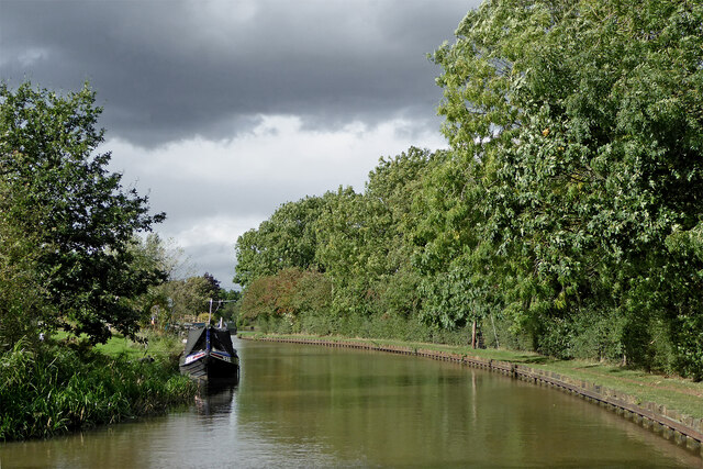
Image: © Roger Kidd Taken: 25 Sep 2016
This 2016 image shows the canal, looking north towards Atherstone from near Worthington Farm Bridge. The land on the left has now been developed (2021) but as Streetview hasn't been anywhere near here, I am not sure yet whether that is connected to the new marina replacing the quarry south of the bridge.
Images are licensed for reuse under creativecommons.org/licenses/by-sa/2.0
Image Location
Latitude
52.559917
Longitude
-1.531174