Grown bigger in Sherston
Introduction
The photograph on this page of Grown bigger in Sherston by Neil Owen as part of the Geograph project.
The Geograph project started in 2005 with the aim of publishing, organising and preserving representative images for every square kilometre of Great Britain, Ireland and the Isle of Man.

There are currently over 7.5m images from over 14,400 individuals and you can help contribute to the project by visiting https://www.geograph.org.uk
Grown bigger in Sherston
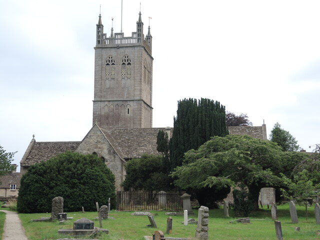
Image: © Neil Owen Taken: 25 Jul 2021
Sherston's Holy Cross church may have Norman roots but the tower dates from the fifteenth century. However, it was rebuilt and heightened in 1730-33, leaving it looming over the rest of the church. Pevsner was not too impressed, it seems.
Images are licensed for reuse under creativecommons.org/licenses/by-sa/2.0
Image Location
Latitude
51.572945
Longitude
-2.212494