Approaching Cheltenham, M5 Northbound
Introduction
The photograph on this page of Approaching Cheltenham, M5 Northbound by Oliver Mills as part of the Geograph project.
The Geograph project started in 2005 with the aim of publishing, organising and preserving representative images for every square kilometre of Great Britain, Ireland and the Isle of Man.

There are currently over 7.5m images from over 14,400 individuals and you can help contribute to the project by visiting https://www.geograph.org.uk
Approaching Cheltenham, M5 Northbound
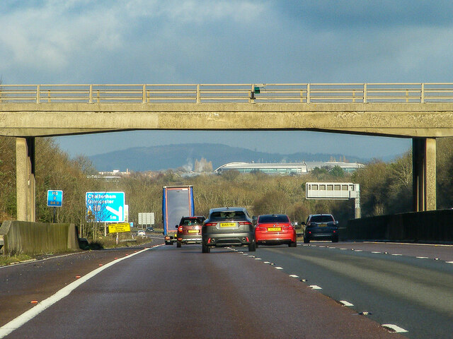
Image: © Oliver Mills Taken: 26 Dec 2021
The most obvious feature in the background is the GCHQ Headquarters (The Doughnut), not normally so visible in the Summer months when the trees form a more opaque barrier. The bridge in the foreground carries Brockworth Road.
Images are licensed for reuse under creativecommons.org/licenses/by-sa/2.0
Image Location
Latitude
51.868928
Longitude
-2.158843