St Julian's Road
Introduction
The photograph on this page of St Julian's Road by Ian Capper as part of the Geograph project.
The Geograph project started in 2005 with the aim of publishing, organising and preserving representative images for every square kilometre of Great Britain, Ireland and the Isle of Man.

There are currently over 7.5m images from over 14,400 individuals and you can help contribute to the project by visiting https://www.geograph.org.uk
St Julian's Road
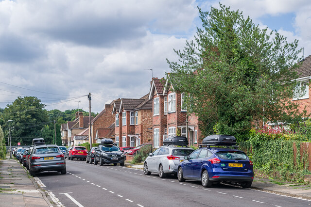
Image: © Ian Capper Taken: 5 Aug 2021
Cul-de-sac off Prospect Road, ending at the Watford Junction - St Albans Abbey "Abbey Line". Originally laid out in 1912 with houses built on the eastern side, the western side, see here, was developed later, in the c.1930s.
Images are licensed for reuse under creativecommons.org/licenses/by-sa/2.0
Image Location
Latitude
51.744294
Longitude
-0.339586