Prospect Road
Introduction
The photograph on this page of Prospect Road by Ian Capper as part of the Geograph project.
The Geograph project started in 2005 with the aim of publishing, organising and preserving representative images for every square kilometre of Great Britain, Ireland and the Isle of Man.

There are currently over 7.5m images from over 14,400 individuals and you can help contribute to the project by visiting https://www.geograph.org.uk
Prospect Road
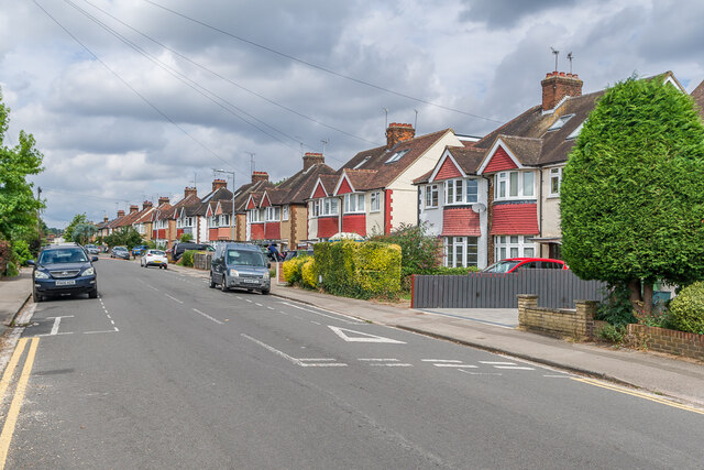
Image: © Ian Capper Taken: 5 Aug 2021
Semi-detached houses at the Cottonmill Lane end of Prospect Road, built in 1928-30. Prospect Road started out as a cul-de-sac off Holywell Hill, first developed in the second half of the 19th Century. The eastward extension, as seen here, linked it through to Cottonmill Lane, along the route of a former footpath.
Images are licensed for reuse under creativecommons.org/licenses/by-sa/2.0
Image Location
Latitude
51.744424
Longitude
-0.337351