Cottonmill Lane
Introduction
The photograph on this page of Cottonmill Lane by Ian Capper as part of the Geograph project.
The Geograph project started in 2005 with the aim of publishing, organising and preserving representative images for every square kilometre of Great Britain, Ireland and the Isle of Man.

There are currently over 7.5m images from over 14,400 individuals and you can help contribute to the project by visiting https://www.geograph.org.uk
Cottonmill Lane
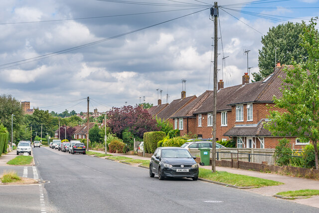
Image: © Ian Capper Taken: 5 Aug 2021
c.1950s housing in Cottonmill Lane. Although not developed until then, the route itself is much older, being the route from St Albans out to Sopwell from St Albans. In the left background the tower of St Albans Abbey can be seen.
Images are licensed for reuse under creativecommons.org/licenses/by-sa/2.0
Image Location
Latitude
51.739214
Longitude
-0.332661