Matlock Close
Introduction
The photograph on this page of Matlock Close by John Baker as part of the Geograph project.
The Geograph project started in 2005 with the aim of publishing, organising and preserving representative images for every square kilometre of Great Britain, Ireland and the Isle of Man.

There are currently over 7.5m images from over 14,400 individuals and you can help contribute to the project by visiting https://www.geograph.org.uk
Matlock Close
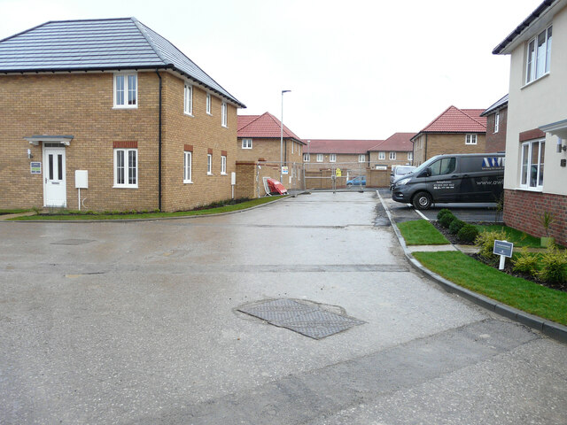
Image: © John Baker Taken: 12 Dec 2021
The view of Image shows that the nearest house, on the right, is the same house on the left. The development is part of the Aylesham Garden Village project http://www.ayleshamgardenvillage.co.uk/
Images are licensed for reuse under creativecommons.org/licenses/by-sa/2.0
Image Location
Latitude
51.228222
Longitude
1.194736