Junction on Joynes Road ready for further development
Introduction
The photograph on this page of Junction on Joynes Road ready for further development by Jeff Gogarty as part of the Geograph project.
The Geograph project started in 2005 with the aim of publishing, organising and preserving representative images for every square kilometre of Great Britain, Ireland and the Isle of Man.

There are currently over 7.5m images from over 14,400 individuals and you can help contribute to the project by visiting https://www.geograph.org.uk
Junction on Joynes Road ready for further development
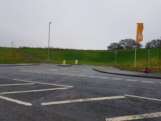
Image: © Jeff Gogarty Taken: 26 Dec 2021
The road is also known as Copcut Boulevard and leads to a recent housing development on the edge of Droitwich. It is in the Parish of Salwarpe but does not have any direct road connection to the village.
Images are licensed for reuse under creativecommons.org/licenses/by-sa/2.0
Image Location
Latitude
52.252997
Longitude
-2.166219