Chilvers Rise Bridge in Nuneaton, Warwickshire
Introduction
The photograph on this page of Chilvers Rise Bridge in Nuneaton, Warwickshire by Roger Kidd as part of the Geograph project.
The Geograph project started in 2005 with the aim of publishing, organising and preserving representative images for every square kilometre of Great Britain, Ireland and the Isle of Man.

There are currently over 7.5m images from over 14,400 individuals and you can help contribute to the project by visiting https://www.geograph.org.uk
Chilvers Rise Bridge in Nuneaton, Warwickshire
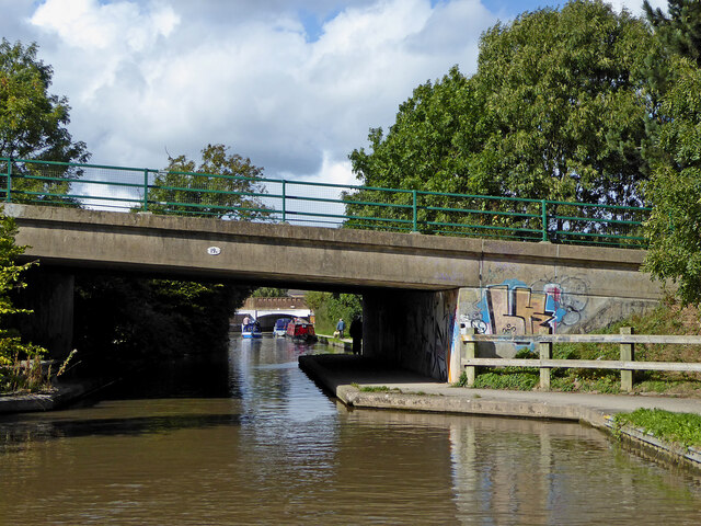
Image: © Roger Kidd Taken: 25 Sep 2016
Chilvers Rise Bridge is No 19A across the Coventry Canal and carries the dual carriageway A444 road. This road was developed in the 1980s and 1990s as a fast link to Coventry, but is notoriously congested in Nuneaton at busy times.
Images are licensed for reuse under creativecommons.org/licenses/by-sa/2.0
Image Location
Latitude
52.513453
Longitude
-1.470516