Croxdale Cemetery
Introduction
The photograph on this page of Croxdale Cemetery by Mel Towler as part of the Geograph project.
The Geograph project started in 2005 with the aim of publishing, organising and preserving representative images for every square kilometre of Great Britain, Ireland and the Isle of Man.

There are currently over 7.5m images from over 14,400 individuals and you can help contribute to the project by visiting https://www.geograph.org.uk
Croxdale Cemetery
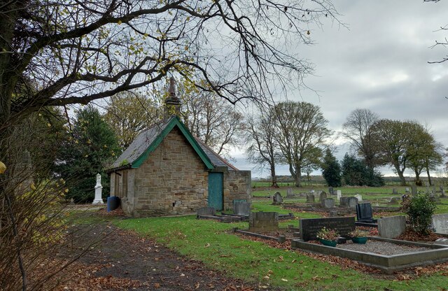
Image: © Mel Towler Taken: 13 Nov 2021
There is an OS flush bracket [S8971] located on the north-west facing wall of the cemetery building. It is about 2 foot above ground level and directly below the roof apex.
Images are licensed for reuse under creativecommons.org/licenses/by-sa/2.0
Image Location
Latitude
54.722775
Longitude
-1.582335