Pioneer Point Tower
Introduction
The photograph on this page of Pioneer Point Tower by Gita Patel as part of the Geograph project.
The Geograph project started in 2005 with the aim of publishing, organising and preserving representative images for every square kilometre of Great Britain, Ireland and the Isle of Man.

There are currently over 7.5m images from over 14,400 individuals and you can help contribute to the project by visiting https://www.geograph.org.uk
Pioneer Point Tower
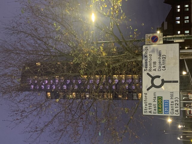
Image: © Gita Patel Taken: 16 Dec 2021
What was Pioneer Market is now Pioneer Point Tower. It is comprised of social care and private apartments, Hotel, Gym, Global Foods Restaurant and Driving Theory Test centre. The roundabout is known as Winston Way Roundabout with an underpass.
Images are licensed for reuse under creativecommons.org/licenses/by-sa/2.0
Image Location
Latitude
51.555514
Longitude
0.069949