Motte House (Almeley)
Introduction
The photograph on this page of Motte House (Almeley) by Fabian Musto as part of the Geograph project.
The Geograph project started in 2005 with the aim of publishing, organising and preserving representative images for every square kilometre of Great Britain, Ireland and the Isle of Man.

There are currently over 7.5m images from over 14,400 individuals and you can help contribute to the project by visiting https://www.geograph.org.uk
Motte House (Almeley)
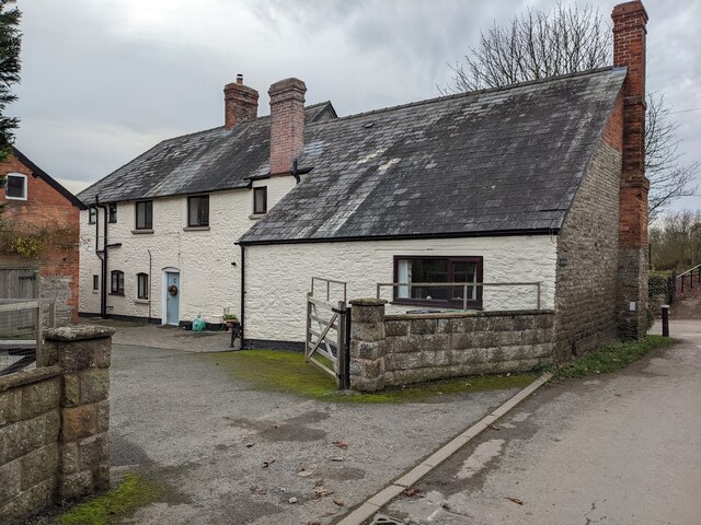
Image: © Fabian Musto Taken: 22 Dec 2021
This stone building was possibly built in the 18th or 19th century, and is situated opposite the parish church of St. Mary and the earthworks of Almeley Castle.
Images are licensed for reuse under creativecommons.org/licenses/by-sa/2.0
Image Location
Latitude
52.157462
Longitude
-2.976119