Stone Stile, Hookhouse Lane
Introduction
The photograph on this page of Stone Stile, Hookhouse Lane by Mr Red as part of the Geograph project.
The Geograph project started in 2005 with the aim of publishing, organising and preserving representative images for every square kilometre of Great Britain, Ireland and the Isle of Man.

There are currently over 7.5m images from over 14,400 individuals and you can help contribute to the project by visiting https://www.geograph.org.uk
Stone Stile, Hookhouse Lane
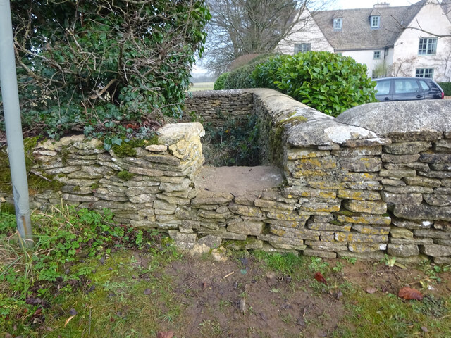
Image: © Mr Red Taken: 22 Dec 2021
In the areas known as Charlton Down, this is a modern interpretation of a stone stile on the Gloucestershire footpath NTU24. Looking East from the road, the view looking West is Image
Images are licensed for reuse under creativecommons.org/licenses/by-sa/2.0
Image Location
Latitude
51.625501
Longitude
-2.201472