Milton Road flats
Introduction
The photograph on this page of Milton Road flats by Richard Webb as part of the Geograph project.
The Geograph project started in 2005 with the aim of publishing, organising and preserving representative images for every square kilometre of Great Britain, Ireland and the Isle of Man.

There are currently over 7.5m images from over 14,400 individuals and you can help contribute to the project by visiting https://www.geograph.org.uk
Milton Road flats
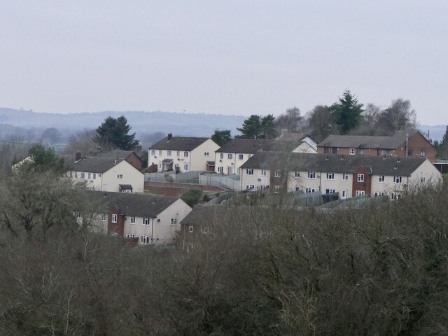
Image: © Richard Webb Taken: 21 Dec 2021
Built around 1960 as Ludlow finally started to get a grip on its appalling housing record. My first bin round was here and they always had the heaviest bins - usually coal ash was the culprit.
Images are licensed for reuse under creativecommons.org/licenses/by-sa/2.0
Image Location


Leaflet Map data © OpenStreetMap
Latitude
52.36941
Longitude
-2.705244