Parys Road
Introduction
The photograph on this page of Parys Road by Richard Webb as part of the Geograph project.
The Geograph project started in 2005 with the aim of publishing, organising and preserving representative images for every square kilometre of Great Britain, Ireland and the Isle of Man.

There are currently over 7.5m images from over 14,400 individuals and you can help contribute to the project by visiting https://www.geograph.org.uk
Parys Road
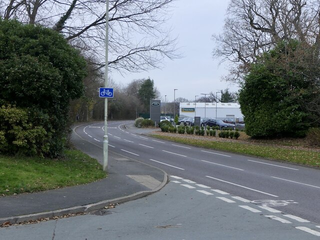
Image: © Richard Webb Taken: 21 Dec 2021
1980s distribution road for an industrial area just inside the bypass. Previously a dairy farm.
Images are licensed for reuse under creativecommons.org/licenses/by-sa/2.0
Image Location
Latitude
52.369175
Longitude
-2.699366