Llwybr Cwm / Cwm path
Introduction
The photograph on this page of Llwybr Cwm / Cwm path by Alan Richards as part of the Geograph project.
The Geograph project started in 2005 with the aim of publishing, organising and preserving representative images for every square kilometre of Great Britain, Ireland and the Isle of Man.

There are currently over 7.5m images from over 14,400 individuals and you can help contribute to the project by visiting https://www.geograph.org.uk
Llwybr Cwm / Cwm path
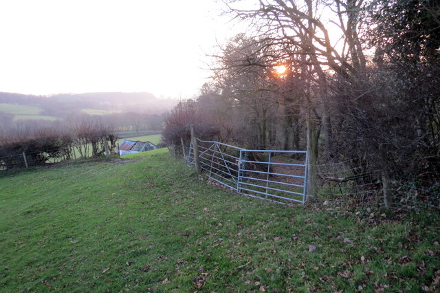
Image: © Alan Richards Taken: 17 Dec 2021
Ar y dde mae llwybr cyhoeddus yn mynd i lawr y waered tuag at Ffarm y Cwm. On the right a path descends in the direction of Cwm Farm (trans. valley).
Images are licensed for reuse under creativecommons.org/licenses/by-sa/2.0
Image Location


Leaflet Map data © OpenStreetMap
Latitude
51.971476
Longitude
-3.955321