Methodist chapel East Liddaton
Introduction
The photograph on this page of Methodist chapel East Liddaton by Neville Goodman as part of the Geograph project.
The Geograph project started in 2005 with the aim of publishing, organising and preserving representative images for every square kilometre of Great Britain, Ireland and the Isle of Man.

There are currently over 7.5m images from over 14,400 individuals and you can help contribute to the project by visiting https://www.geograph.org.uk
Methodist chapel East Liddaton
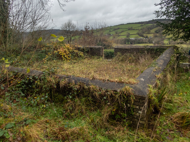
Image: © Neville Goodman Taken: 13 Dec 2021
Just south of the old East Liddaton railway bridge, a short path leads off the road to a graveyard with the remains of a Methodist chapel. There is a benchmark on the near corner Image
Images are licensed for reuse under creativecommons.org/licenses/by-sa/2.0
Image Location


Leaflet Map data © OpenStreetMap
Latitude
50.62507
Longitude
-4.172786