Sandy Lane
Introduction
The photograph on this page of Sandy Lane by Bill Nicholls as part of the Geograph project.
The Geograph project started in 2005 with the aim of publishing, organising and preserving representative images for every square kilometre of Great Britain, Ireland and the Isle of Man.

There are currently over 7.5m images from over 14,400 individuals and you can help contribute to the project by visiting https://www.geograph.org.uk
Sandy Lane
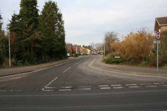
Image: © Bill Nicholls Taken: 24 Feb 2008
Housing estate built in the 1960s, the road follows an old footpath which leads to the Bulls hole. I was told that the first builders to start the estate went bust which might be why there is a difference in build style around it. There also used to be an electricity substation behind the fir trees but that is gone and all that is left is the base.
Images are licensed for reuse under creativecommons.org/licenses/by-sa/2.0
Image Location
Latitude
51.572276
Longitude
-1.157725