High Street, Hazel Grove
Introduction
The photograph on this page of High Street, Hazel Grove by Christine Johnstone as part of the Geograph project.
The Geograph project started in 2005 with the aim of publishing, organising and preserving representative images for every square kilometre of Great Britain, Ireland and the Isle of Man.

There are currently over 7.5m images from over 14,400 individuals and you can help contribute to the project by visiting https://www.geograph.org.uk
High Street, Hazel Grove
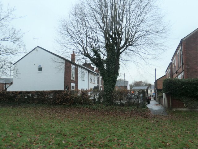
Image: © Christine Johnstone Taken: 30 Nov 2021
Surprisingly, this short terraced street between Torkington Park and the A6 is Hazel Grove's High Street. The red traffic light is at the junction with the A6 [London Road]. The houses were built between 1872 and 1896.
Images are licensed for reuse under creativecommons.org/licenses/by-sa/2.0
Image Location
Latitude
53.375932
Longitude
-2.113447