Footpath and track in Bunny Old Wood
Introduction
The photograph on this page of Footpath and track in Bunny Old Wood by Alan Murray-Rust as part of the Geograph project.
The Geograph project started in 2005 with the aim of publishing, organising and preserving representative images for every square kilometre of Great Britain, Ireland and the Isle of Man.

There are currently over 7.5m images from over 14,400 individuals and you can help contribute to the project by visiting https://www.geograph.org.uk
Footpath and track in Bunny Old Wood
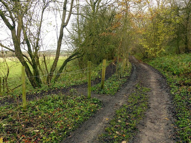
Image: © Alan Murray-Rust Taken: 12 Dec 2021
The path is the formal public footpath although this part of the wood is fully accessible. It is owned by the Nottinghamshire Wildlife Trust who purchased it from British Gypsum, and the track is in regular use for timber management. The footpath is shown on OS mapping as an alternative section of the Midshires Way although not shown as such on the Long Distances Walkers Assn website.
Images are licensed for reuse under creativecommons.org/licenses/by-sa/2.0
Image Location
Latitude
52.848541
Longitude
-1.139332