Wood Lane, West Kington
Introduction
The photograph on this page of Wood Lane, West Kington by Kevin Pearson as part of the Geograph project.
The Geograph project started in 2005 with the aim of publishing, organising and preserving representative images for every square kilometre of Great Britain, Ireland and the Isle of Man.

There are currently over 7.5m images from over 14,400 individuals and you can help contribute to the project by visiting https://www.geograph.org.uk
Wood Lane, West Kington
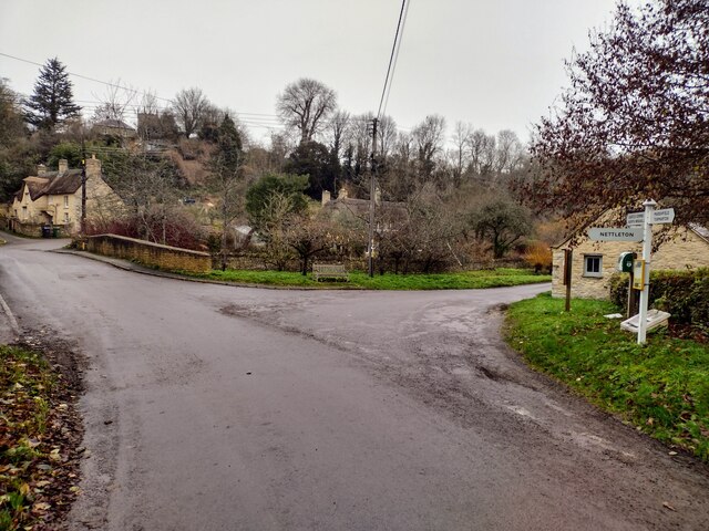
Image: © Kevin Pearson Taken: 11 Dec 2021
Looking down Wood Lane in West Kington, where it crosses the Broadmead Brook. The lane leading to West Kington Wick is on the right.
Images are licensed for reuse under creativecommons.org/licenses/by-sa/2.0
Image Location
Latitude
51.495855
Longitude
-2.272347