Crouchfield Close flats, Crooked Lane, Seaford
Introduction
The photograph on this page of Crouchfield Close flats, Crooked Lane, Seaford by Robin Stott as part of the Geograph project.
The Geograph project started in 2005 with the aim of publishing, organising and preserving representative images for every square kilometre of Great Britain, Ireland and the Isle of Man.

There are currently over 7.5m images from over 14,400 individuals and you can help contribute to the project by visiting https://www.geograph.org.uk
Crouchfield Close flats, Crooked Lane, Seaford
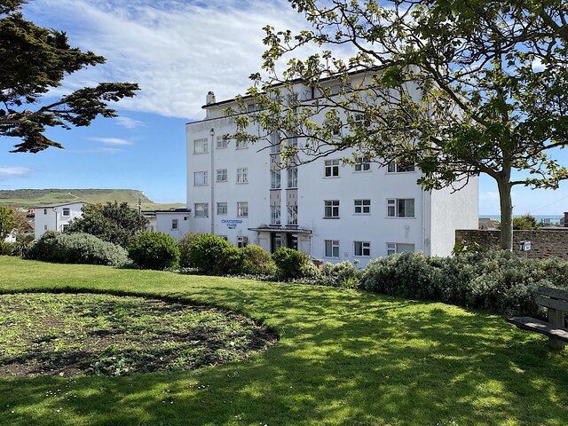
Image: © Robin Stott Taken: 15 May 2021
The 'Crouch' element in local names is unexplained.
Images are licensed for reuse under creativecommons.org/licenses/by-sa/2.0
Image Location
Latitude
50.770494
Longitude
0.105163