Field edge path, Old Malton
Introduction
The photograph on this page of Field edge path, Old Malton by Gordon Hatton as part of the Geograph project.
The Geograph project started in 2005 with the aim of publishing, organising and preserving representative images for every square kilometre of Great Britain, Ireland and the Isle of Man.

There are currently over 7.5m images from over 14,400 individuals and you can help contribute to the project by visiting https://www.geograph.org.uk
Field edge path, Old Malton
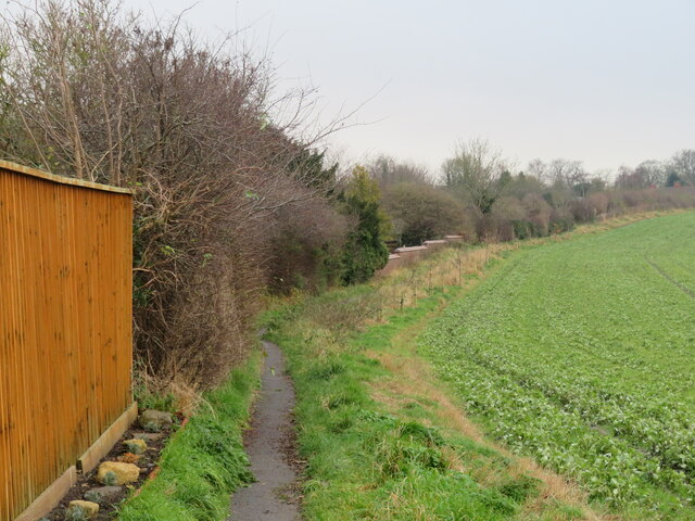
Image: © Gordon Hatton Taken: 12 Dec 2021
Footpath number 25.60/47 runs along the back of houses at Old Malton. The brick wall in the middle distance marks the boundary of the cemetery.
Images are licensed for reuse under creativecommons.org/licenses/by-sa/2.0
Image Location
Latitude
54.144689
Longitude
-0.782466