Ugthorpe, Black Bull PH
Introduction
The photograph on this page of Ugthorpe, Black Bull PH by Mel Towler as part of the Geograph project.
The Geograph project started in 2005 with the aim of publishing, organising and preserving representative images for every square kilometre of Great Britain, Ireland and the Isle of Man.

There are currently over 7.5m images from over 14,400 individuals and you can help contribute to the project by visiting https://www.geograph.org.uk
Ugthorpe, Black Bull PH
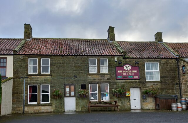
Image: © Mel Towler Taken: 3 Nov 2021
There is a benchmark cut into the 2nd course of stone on the north-east face of the front of the pub, to the left of the village noticeboard.
Images are licensed for reuse under creativecommons.org/licenses/by-sa/2.0
Image Location


Leaflet Map data © OpenStreetMap
Latitude
54.489934
Longitude
-0.775781