Farmland, Medmenham
Introduction
The photograph on this page of Farmland, Medmenham by Andrew Smith as part of the Geograph project.
The Geograph project started in 2005 with the aim of publishing, organising and preserving representative images for every square kilometre of Great Britain, Ireland and the Isle of Man.

There are currently over 7.5m images from over 14,400 individuals and you can help contribute to the project by visiting https://www.geograph.org.uk
Farmland, Medmenham
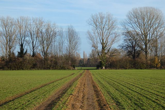
Image: © Andrew Smith Taken: 9 Dec 2021
A footpath from Mill End crossing flat arable fields to the south of Westfield Farm.
Images are licensed for reuse under creativecommons.org/licenses/by-sa/2.0
Image Location
Latitude
51.551069
Longitude
-0.851777