Footpath through Lock's Common
Introduction
The photograph on this page of Footpath through Lock's Common by Eirian Evans as part of the Geograph project.
The Geograph project started in 2005 with the aim of publishing, organising and preserving representative images for every square kilometre of Great Britain, Ireland and the Isle of Man.

There are currently over 7.5m images from over 14,400 individuals and you can help contribute to the project by visiting https://www.geograph.org.uk
Footpath through Lock's Common
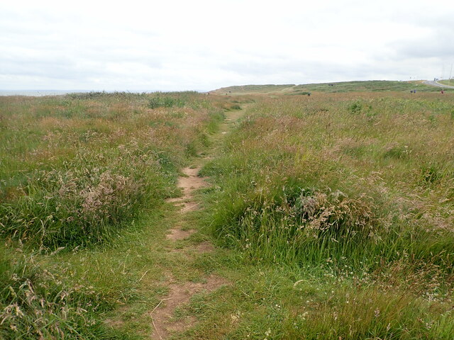
Image: © Eirian Evans Taken: 25 Jun 2021
A local nature reserve. The common’s heath and grassland – with patches of limestone pavement – support many types of plants and animals.
Images are licensed for reuse under creativecommons.org/licenses/by-sa/2.0
Image Location
Latitude
51.480784
Longitude
-3.718805