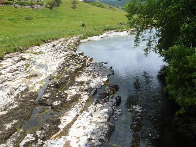
Grassington features [5]
Introduction
The photograph on this page of Grassington features [5] by Michael Dibb as part of the Geograph project.
The Geograph project started in 2005 with the aim of publishing, organising and preserving representative images for every square kilometre of Great Britain, Ireland and the Isle of Man.
There are currently over 7.5m images from over 14,400 individuals and you can help contribute to the project by visiting https://www.geograph.org.uk

Image: © Michael Dibb Taken: 26 Jun 2021
The River Wharfe, looking downstream from Grassington Bridge which carries Station Road, B6265. Grassington is a small market town, receiving its charter in 1282. The town is located in Wharfedale in the Yorkshire Dales National Park, some 7½ miles north of Skipton. Lead mining brought prosperity to the town in the 18th and 19th centuries. The town now attracts many tourists, especially walkers, with some excellent routes on the surrounding fells.

