The High Peak Trail
Introduction
The photograph on this page of The High Peak Trail by Jay Pea as part of the Geograph project.
The Geograph project started in 2005 with the aim of publishing, organising and preserving representative images for every square kilometre of Great Britain, Ireland and the Isle of Man.

There are currently over 7.5m images from over 14,400 individuals and you can help contribute to the project by visiting https://www.geograph.org.uk
The High Peak Trail
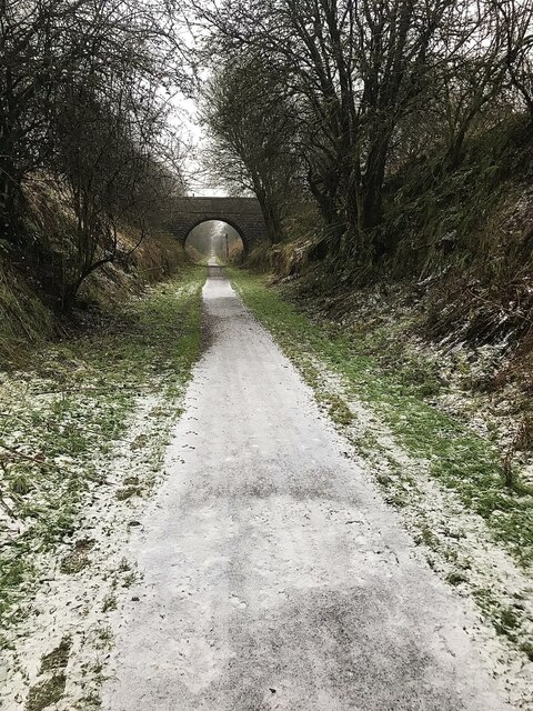
Image: © Jay Pea Taken: 3 Dec 2021
A very cold and icy section of the trail just south east of the A515 road bridge.
Images are licensed for reuse under creativecommons.org/licenses/by-sa/2.0
Image Location
Latitude
53.161296
Longitude
-1.771579