Haughmond Villa
Introduction
The photograph on this page of Haughmond Villa by Jeremy Bolwell as part of the Geograph project.
The Geograph project started in 2005 with the aim of publishing, organising and preserving representative images for every square kilometre of Great Britain, Ireland and the Isle of Man.

There are currently over 7.5m images from over 14,400 individuals and you can help contribute to the project by visiting https://www.geograph.org.uk
Haughmond Villa
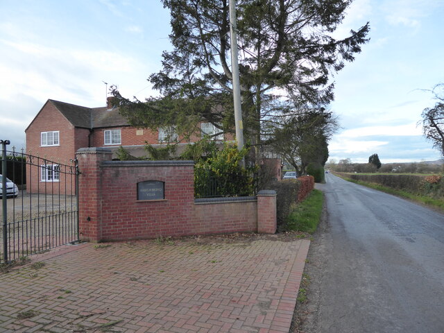
Image: © Jeremy Bolwell Taken: 30 Nov 2021
Originally a cottage by the look of it, dated in the 1860s by the stone plaque. Much extended with car parking where a garden may once have bloomed. Lots of 1990s brickwork everywhere.
Images are licensed for reuse under creativecommons.org/licenses/by-sa/2.0
Image Location
Latitude
52.751369
Longitude
-2.678952