Path in Wingfoot Park near Oxley, Wolverhampton
Introduction
The photograph on this page of Path in Wingfoot Park near Oxley, Wolverhampton by Roger Kidd as part of the Geograph project.
The Geograph project started in 2005 with the aim of publishing, organising and preserving representative images for every square kilometre of Great Britain, Ireland and the Isle of Man.

There are currently over 7.5m images from over 14,400 individuals and you can help contribute to the project by visiting https://www.geograph.org.uk
Path in Wingfoot Park near Oxley, Wolverhampton
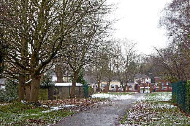
Image: © Roger Kidd Taken: 29 Nov 2021
Looking south-south-west from near Church Road. The area has been developed with new housing recently, and this redesigned park (now called Goodyear Neighbourhood Park) opened in 2018.
Images are licensed for reuse under creativecommons.org/licenses/by-sa/2.0
Image Location
Latitude
52.617053
Longitude
-2.126093