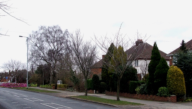
Top of Comberford Road near Gillway
Introduction
The photograph on this page of Top of Comberford Road near Gillway by Rob Farrow as part of the Geograph project.
The Geograph project started in 2005 with the aim of publishing, organising and preserving representative images for every square kilometre of Great Britain, Ireland and the Isle of Man.
There are currently over 7.5m images from over 14,400 individuals and you can help contribute to the project by visiting https://www.geograph.org.uk

Image: © Rob Farrow Taken: 23 Feb 2008
This is the end of Comberford Road as it heads north out of Tamworth just before it reaches the crossroads with Gillway (pronounced JILLway) to the right, Coton Lane to the left and the A513 as a continuation straight ahead. The signs at the end of Gillway can just be glimpsed at the extreme left of the photo. Unusually the houses seen here were renumbered some years ago due to infill, such that the cream rendered one seen here was originally number 150 but is now number 166. I happen to know this as I was born in it when it was its lower number !

