Church Road near Oxley in Wolverhampton
Introduction
The photograph on this page of Church Road near Oxley in Wolverhampton by Roger Kidd as part of the Geograph project.
The Geograph project started in 2005 with the aim of publishing, organising and preserving representative images for every square kilometre of Great Britain, Ireland and the Isle of Man.

There are currently over 7.5m images from over 14,400 individuals and you can help contribute to the project by visiting https://www.geograph.org.uk
Church Road near Oxley in Wolverhampton
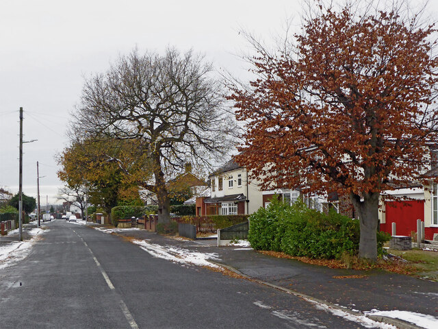
Image: © Roger Kidd Taken: 29 Nov 2021
Looking west-south-west towards the A449 Stafford Road. Marklin Avenue is off to the left.
Images are licensed for reuse under creativecommons.org/licenses/by-sa/2.0
Image Location
Latitude
52.61795
Longitude
-2.128016