Lane on the Geopark Way (Astley)
Introduction
The photograph on this page of Lane on the Geopark Way (Astley) by Fabian Musto as part of the Geograph project.
The Geograph project started in 2005 with the aim of publishing, organising and preserving representative images for every square kilometre of Great Britain, Ireland and the Isle of Man.

There are currently over 7.5m images from over 14,400 individuals and you can help contribute to the project by visiting https://www.geograph.org.uk
Lane on the Geopark Way (Astley)
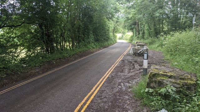
Image: © Fabian Musto Taken: 25 Jun 2021
This country lane was given double yellow lines after I last went on the five mile Abberley Circular Walk on 1st November 2020. Compare this to Image
Images are licensed for reuse under creativecommons.org/licenses/by-sa/2.0
Image Location
Latitude
52.311249
Longitude
-2.337027