Ruined stone wall
Introduction
The photograph on this page of Ruined stone wall by Mick Garratt as part of the Geograph project.
The Geograph project started in 2005 with the aim of publishing, organising and preserving representative images for every square kilometre of Great Britain, Ireland and the Isle of Man.

There are currently over 7.5m images from over 14,400 individuals and you can help contribute to the project by visiting https://www.geograph.org.uk
Ruined stone wall
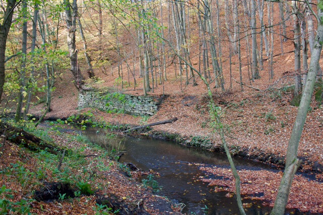
Image: © Mick Garratt Taken: 21 Nov 2021
Probably the remains of the Low Forge, "known as 'Hussey's Forge' in 1764, is probably the oldest of the three forges. It closed in 1877 due to the Beamish Burn flood and the buildings were demolished in 1895." sitelines.newcastle.gov.uk. (2021). Beamish Burn, industrial archaeological remains. [online] Available at: https://twsitelines.info/SMR/1027#:~:text=Low%20Forge%2C%20known%20as%20%22Hussey%27s%20Forge%22%20in%201764%2C%20is%20probably%20the%20oldest%20of%20the%20three%20forges.%20It%20closed%20in%201877%20due%20to%20the%20Beamish%20Burn%20flood%20and%20the%20buildings%20were%20demolished%20in%201895. [Accessed 2 Dec. 2021].
Images are licensed for reuse under creativecommons.org/licenses/by-sa/2.0
Image Location
Latitude
54.880793
Longitude
-1.650373