The 'Turk's Head', Sowerby Bridge
Introduction
The photograph on this page of The 'Turk's Head', Sowerby Bridge by Dr Neil Clifton as part of the Geograph project.
The Geograph project started in 2005 with the aim of publishing, organising and preserving representative images for every square kilometre of Great Britain, Ireland and the Isle of Man.

There are currently over 7.5m images from over 14,400 individuals and you can help contribute to the project by visiting https://www.geograph.org.uk
The 'Turk's Head', Sowerby Bridge
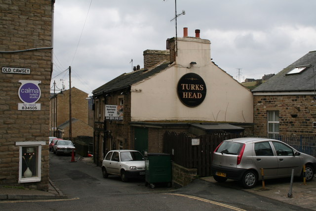
Image: © Dr Neil Clifton Taken: 23 Feb 2008
The front door of this pub is in Back Wharf Street. This is the route of the old packhorse road, and a sign 'Old Cawsey' (sic, and surely a mis-spelling) has been placed on the side of an adjacent building - but at right angles to the route of the packhorse road!
Images are licensed for reuse under creativecommons.org/licenses/by-sa/2.0
Image Location


Leaflet Map data © OpenStreetMap
Latitude
53.707891
Longitude
-1.909067