Angiddy joins the Wye at Abbey Mill
Introduction
The photograph on this page of Angiddy joins the Wye at Abbey Mill by Pauline E as part of the Geograph project.
The Geograph project started in 2005 with the aim of publishing, organising and preserving representative images for every square kilometre of Great Britain, Ireland and the Isle of Man.

There are currently over 7.5m images from over 14,400 individuals and you can help contribute to the project by visiting https://www.geograph.org.uk
Angiddy joins the Wye at Abbey Mill
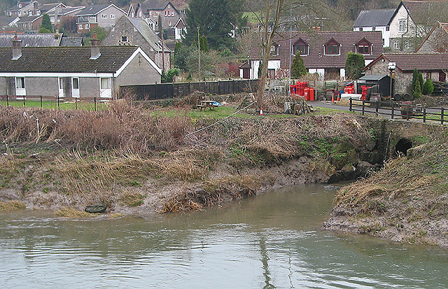
Image: © Pauline E Taken: 24 Feb 2008
The Angiddy is named as a river, a brook and a stream, depending on the source. It was used to power the mill which served Tintern Abbey. The mill area is now a small complex of shops. Picture taken from the old railway bridge, now a footbridge.
Images are licensed for reuse under creativecommons.org/licenses/by-sa/2.0
Image Location
Latitude
51.698752
Longitude
-2.680441