The Marine Lake
Introduction
The photograph on this page of The Marine Lake by Eirian Evans as part of the Geograph project.
The Geograph project started in 2005 with the aim of publishing, organising and preserving representative images for every square kilometre of Great Britain, Ireland and the Isle of Man.

There are currently over 7.5m images from over 14,400 individuals and you can help contribute to the project by visiting https://www.geograph.org.uk
The Marine Lake
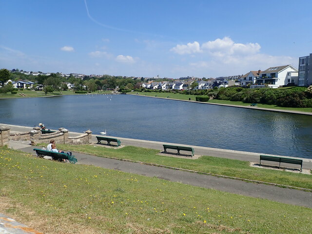
Image: © Eirian Evans Taken: 23 Jun 2021
During the Roman period, this lake area was tidal with a sheltered estuary fed by fresh water from springs above Romilly Park. In the 1920's the Council developed a boating lake in the shape of a Welsh harp.
Images are licensed for reuse under creativecommons.org/licenses/by-sa/2.0
Image Location
Latitude
51.388689
Longitude
-3.293093