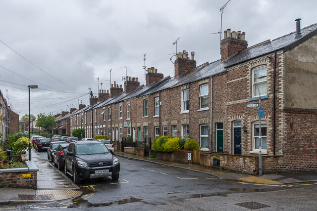
Dale Street
Introduction
The photograph on this page of Dale Street by Ian Capper as part of the Geograph project.
The Geograph project started in 2005 with the aim of publishing, organising and preserving representative images for every square kilometre of Great Britain, Ireland and the Isle of Man.
There are currently over 7.5m images from over 14,400 individuals and you can help contribute to the project by visiting https://www.geograph.org.uk

Image: © Ian Capper Taken: 21 May 2021
c.1890s/1900s terraced housing. The houses in the background are much later, being part of the post Second World War redevelopment of some of the streets east of there. Although where they stand was initially developed before the section in the foreground, being shown on the 1892 25 inch map whereas this nearer area is still shown as what would appear to be gardens, the 1941 edition maps marks the far area without any housing suggesting redevelopment had been planned but then interrupted by the war.

