Fore Street/West Street, Okehampton
Introduction
The photograph on this page of Fore Street/West Street, Okehampton by John Lucas as part of the Geograph project.
The Geograph project started in 2005 with the aim of publishing, organising and preserving representative images for every square kilometre of Great Britain, Ireland and the Isle of Man.

There are currently over 7.5m images from over 14,400 individuals and you can help contribute to the project by visiting https://www.geograph.org.uk
Fore Street/West Street, Okehampton
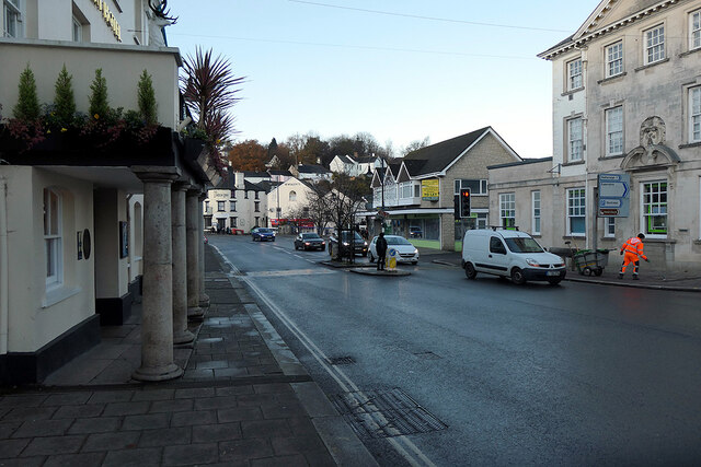
Image: © John Lucas Taken: 25 Nov 2021
The old A30 road before Okehampton was by-passed. On the left is the White Hart, a traditional coaching inn, now a Wetherspoon pub/hotel.
Images are licensed for reuse under creativecommons.org/licenses/by-sa/2.0
Image Location
Latitude
50.738811
Longitude
-4.004