Humber Road, Cheltenham
Introduction
The photograph on this page of Humber Road, Cheltenham by Stephen Richards as part of the Geograph project.
The Geograph project started in 2005 with the aim of publishing, organising and preserving representative images for every square kilometre of Great Britain, Ireland and the Isle of Man.

There are currently over 7.5m images from over 14,400 individuals and you can help contribute to the project by visiting https://www.geograph.org.uk
Humber Road, Cheltenham
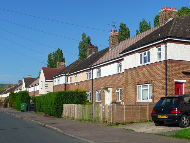
Image: © Stephen Richards Taken: 21 May 2015
Council housing built probably in the first phase (c1929, by Thomas Malvern). A second phase by the Borough Engineer, G. Gould Marsland, came in the mid 1930s. Brick and roughcast.
Images are licensed for reuse under creativecommons.org/licenses/by-sa/2.0
Image Location
Latitude
51.90247
Longitude
-2.052568