Houses at the entrance to Alder Road
Introduction
The photograph on this page of Houses at the entrance to Alder Road by Richard Law as part of the Geograph project.
The Geograph project started in 2005 with the aim of publishing, organising and preserving representative images for every square kilometre of Great Britain, Ireland and the Isle of Man.

There are currently over 7.5m images from over 14,400 individuals and you can help contribute to the project by visiting https://www.geograph.org.uk
Houses at the entrance to Alder Road
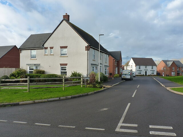
Image: © Richard Law Taken: 30 Nov 2021
The housing developments which were still being built just here Image in late 2015 are now all complete and occupied.
Images are licensed for reuse under creativecommons.org/licenses/by-sa/2.0
Image Location


Leaflet Map data © OpenStreetMap
Latitude
52.675009
Longitude
-2.359049