Albert Mills
Introduction
The photograph on this page of Albert Mills by Chris Allen as part of the Geograph project.
The Geograph project started in 2005 with the aim of publishing, organising and preserving representative images for every square kilometre of Great Britain, Ireland and the Isle of Man.

There are currently over 7.5m images from over 14,400 individuals and you can help contribute to the project by visiting https://www.geograph.org.uk
Albert Mills
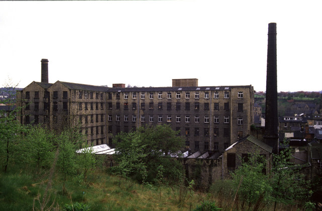
Image: © Chris Allen Taken: 1 May 1988
Seen from round the back of Primrose Hill. There is a secluded path runs along the River Holme behind the mills. It run between Lockwood Scar and Queens Mill Road and I really must walk it again.
Images are licensed for reuse under creativecommons.org/licenses/by-sa/2.0
Image Location


Leaflet Map data © OpenStreetMap
Latitude
53.636194
Longitude
-1.788836