Junction at the top end of Weyloed Lane, Mynydd-bach, Monmouthshire
Introduction
The photograph on this page of Junction at the top end of Weyloed Lane, Mynydd-bach, Monmouthshire by Jaggery as part of the Geograph project.
The Geograph project started in 2005 with the aim of publishing, organising and preserving representative images for every square kilometre of Great Britain, Ireland and the Isle of Man.

There are currently over 7.5m images from over 14,400 individuals and you can help contribute to the project by visiting https://www.geograph.org.uk
Junction at the top end of Weyloed Lane, Mynydd-bach, Monmouthshire
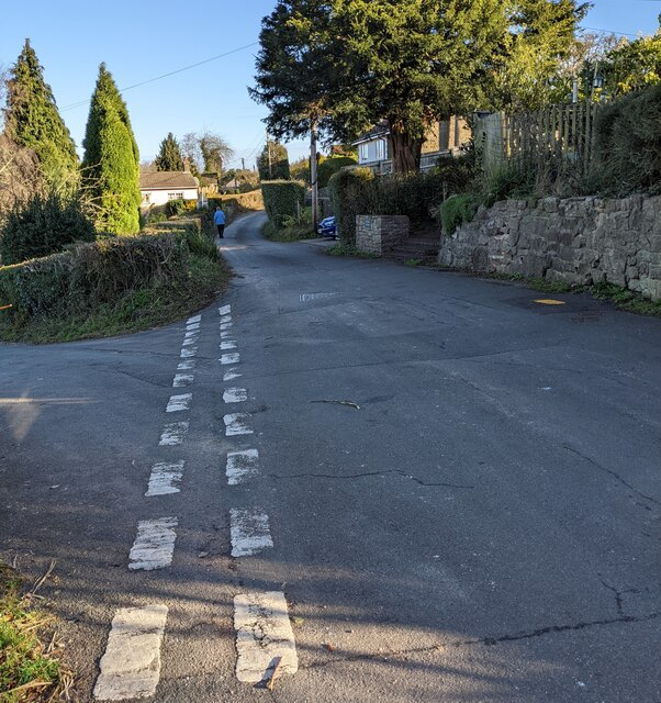
Image: © Jaggery Taken: 28 Nov 2021
From the left, Weyloed Lane https://www.geograph.org.uk/photo/7032114 joins an unnamed residential road.
Images are licensed for reuse under creativecommons.org/licenses/by-sa/2.0
Image Location
Latitude
51.643464
Longitude
-2.752595