Woodside Place
Introduction
The photograph on this page of Woodside Place by Anne Burgess as part of the Geograph project.
The Geograph project started in 2005 with the aim of publishing, organising and preserving representative images for every square kilometre of Great Britain, Ireland and the Isle of Man.

There are currently over 7.5m images from over 14,400 individuals and you can help contribute to the project by visiting https://www.geograph.org.uk
Woodside Place
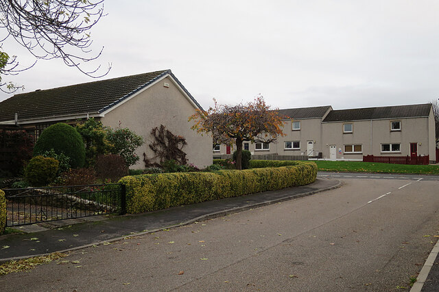
Image: © Anne Burgess Taken: 17 Nov 2021
Although called Woodside Place, there are no houses fronting on to this part of the street, which is simply a link, much beloved by satnavs, to Ordiequish Road.
Images are licensed for reuse under creativecommons.org/licenses/by-sa/2.0
Image Location
Latitude
57.608663
Longitude
-3.097339