Redevelopment of Oxted Gas Holder
Introduction
The photograph on this page of Redevelopment of Oxted Gas Holder by Marvin653 as part of the Geograph project.
The Geograph project started in 2005 with the aim of publishing, organising and preserving representative images for every square kilometre of Great Britain, Ireland and the Isle of Man.

There are currently over 7.5m images from over 14,400 individuals and you can help contribute to the project by visiting https://www.geograph.org.uk
Redevelopment of Oxted Gas Holder
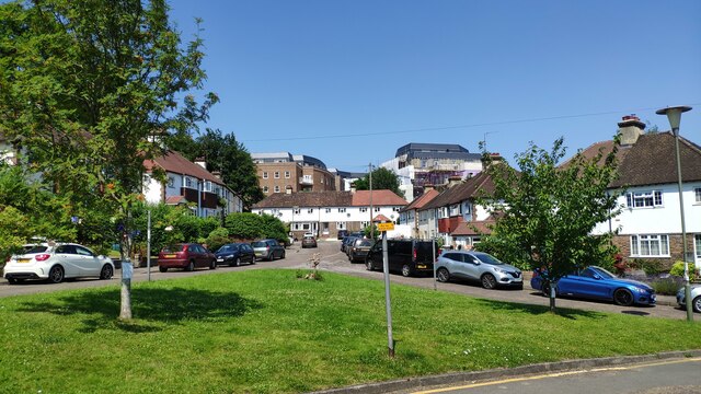
Image: © Marvin653 Taken: 22 Jul 2021
With the previous gas holder now demolished, this is the development that has taken its place (see http://www.geograph.org.uk/photo/7031466 for a photograph from roughly the same viewpoint, with the gas holder demolition in progress).
Images are licensed for reuse under creativecommons.org/licenses/by-sa/2.0
Image Location
Latitude
51.25705
Longitude
-0.003108