Old Boundary Marker on Ashley Down Road, Bristol
Introduction
The photograph on this page of Old Boundary Marker on Ashley Down Road, Bristol by S Kosciow as part of the Geograph project.
The Geograph project started in 2005 with the aim of publishing, organising and preserving representative images for every square kilometre of Great Britain, Ireland and the Isle of Man.

There are currently over 7.5m images from over 14,400 individuals and you can help contribute to the project by visiting https://www.geograph.org.uk
Old Boundary Marker on Ashley Down Road, Bristol
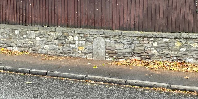
Image: © S Kosciow Taken: 27 Nov 2021
Municipal Boundary set in a stone wall on the west side of the B4052 Ashley Down Road, Bristol. On the former boundary of the City of Bristol and Stapleton parish but since 1898 entirely within the city. Milestone Society National ID: GL_BRIS20pb
Images are licensed for reuse under creativecommons.org/licenses/by-sa/2.0
Image Location
Latitude
51.476492
Longitude
-2.58005